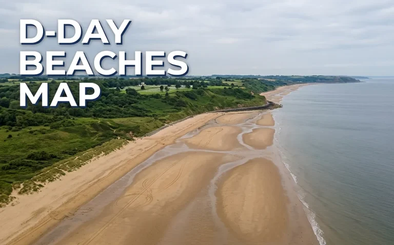
D-Day Beaches Map 2026: The West-to-East Driving Guide
A d-day beaches map is not a historical diagram. It is a physical driving route along 50 miles of Normandy coastline. The five landing sectors run from west to east. You drive them in a single logical sequence over one or two days. This guide maps that exact route. It names the parking points, the…