D-Day Beaches Map 2026: The West-to-East Driving Guide
A d-day beaches map is not a historical diagram. It is a physical driving route along 50 miles of Normandy coastline.
The five landing sectors run from west to east. You drive them in a single logical sequence over one or two days.
This guide maps that exact route. It names the parking points, the bunker sites, and what each beach actually looks like when you stand on it in 2026.
d-day beaches map
The definitive d-day beaches map runs west to east. It starts at Utah Beach on the Cotentin Peninsula and ends at Sword Beach near Ouistreham.
Omaha Beach is the emotional center. It sits between the Pointe du Hoc cliffs and the American cemetery at Colleville-sur-Mer.
The British and Canadian sectors, Gold, Juno, and Sword, lie further east. They are clustered closer together than the American beaches.
A common mistake is trying to see everything in one day from Paris. A one-day trip is a logistical failure, spending seven hours in a car.
The minimum viable visit is one night in Bayeux. Two nights allow you to see the full map from Utah to Sword at a respectful pace.
normandy beaches map
A normandy beaches map for a traveler in 2026 must prioritize the D514 coastal road. This is the artery that connects every major site.
The D514 runs directly along the coast from Grandcamp-Maisy in the west to Arromanches-les-Bains in the east. It is well-signed and easy to follow.
Parking is abundant at every major beach, museum, and bunker site. Most lots are free, with a few paid lots in the busier towns like Arromanches.
Download an offline map of the Normandy coast on your phone. Cell service is reliable near towns but patchy on the rural stretches between the beaches.
The drive between sites is through quiet, hedgerow-lined roads and small villages. The bocage terrain that defined the post-landing battle is still the dominant scenery.
d day beaches map
A useful d day beaches map groups the sectors into two distinct geographic clusters for a driving day. The American cluster is in the west, and the Anglo-Canadian cluster is in the east.
Day 1, The American Sector: Start at Utah Beach, drive to Pointe du Hoc, then walk the sand at Omaha Beach, and finish at the Normandy American Cemetery.
Day 2, The Anglo-Canadian Sector: Start at the Longues-sur-Mer battery, then visit Arromanches and the Gold Beach Mulberry Harbour, then Juno Beach Centre, and finish at Pegasus Bridge near Sword Beach.
This two-day split respects the geography and the emotional gravity. You need time to process what you see.
Cramming the entire map into a single day means you will rush the cemetery, the most important site. Do not do this.
Key Takeaway: Split the map into two days. The American beaches on day one, the British and Canadian beaches on day two.
beaches of normandy map
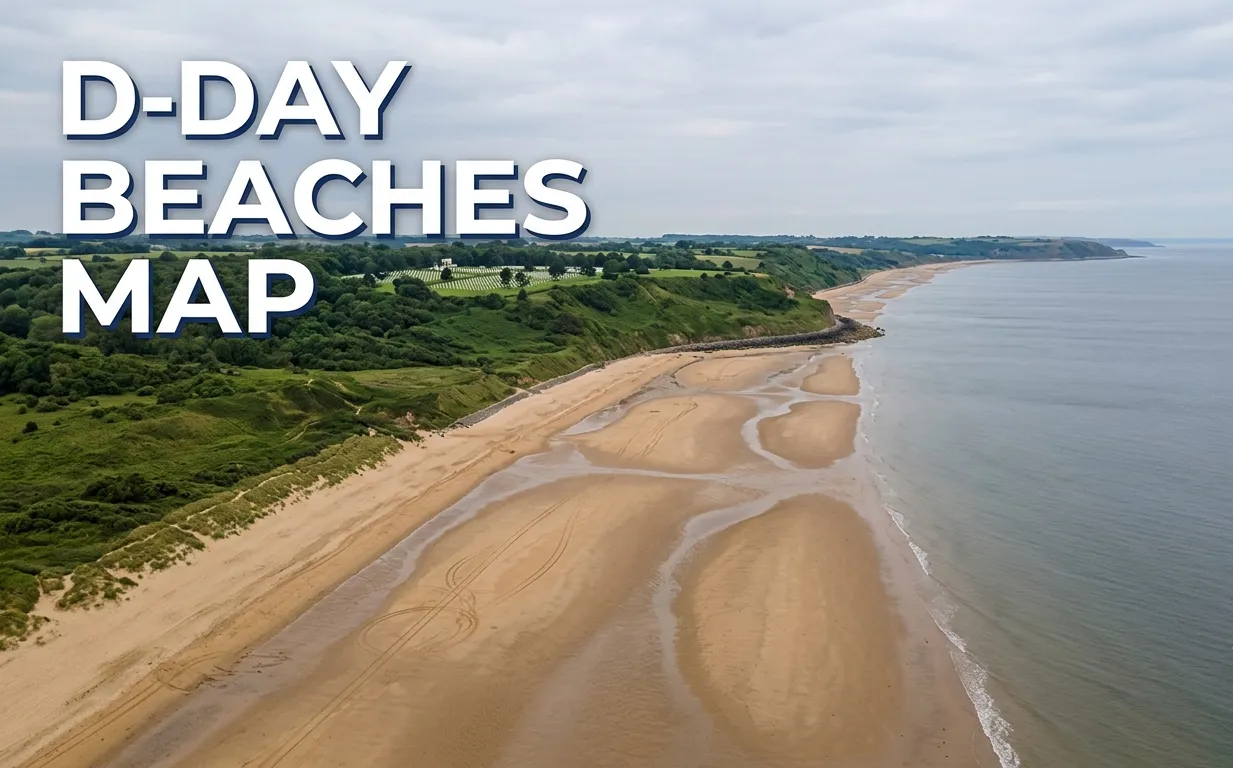
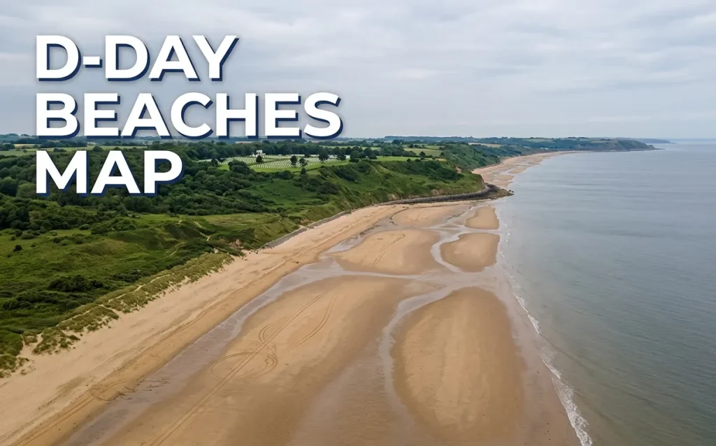
The beaches of normandy map today shows a coastline that has largely returned to a place of quiet beauty. The sand is wide, golden, and flat.
At low tide, the sea recedes for hundreds of yards. This is the critical physical fact that explains the strategy of June 6, 1944.
The flat, hard sand was a killing field. Today, that same sand is where families fly kites and where horses are exercised.
You must check the tide schedule before you drive the route. High tide in some sectors pushes the water right up to the sea wall, changing the perspective entirely.
A high-tide visit to Omaha Beach is a completely different visual experience than a low-tide walk across the exposed shelf.
map of normandy beaches
A detailed map of normandy beaches for a visitor must include the two critical infrastructure points that anchor any trip. These are not beaches, but they are the most important stops on the map.
The first is the Normandy American Cemetery and Memorial at Colleville-sur-Mer. This is managed by the American Battle Monuments Commission (ABMC).
The second is the Juno Beach Centre at Courseulles-sur-Mer. This is the primary interpretive center for the Canadian landings.
Mark these two on your map first. Build your entire driving day around your timed entry to the ABMC visitor center.
All other bunker sites, beaches, and small museums fit into the gaps between these two anchor points.
normandy beach map
Any normandy beach map should highlight the two sites that are the most physically spectacular and unchanged since 1944. These are the visual anchors of the entire coast.
Pointe du Hoc is a windswept headland between Utah and Omaha. The ground is still a moonscape of massive bomb craters, and you walk freely among the shattered German casemates.
Longues-sur-Mer is a German coastal battery between Omaha and Gold. The four massive 150mm guns remain inside their concrete bunkers, exactly where they were left.
These two sites are completely free and open 24/7. They are the most powerful visual connection to the battle.
Walking through the craters at Pointe du Hoc at dusk, with no one else around, is the most profound experience on the entire coast.
d-day landing beaches map
A precise d-day landing beaches map from west to east names the five sectors and their code names. The order is: Utah, Omaha, Gold, Juno, and Sword.
Utah and Omaha were the American sectors. They are the furthest west, on the Cotentin Peninsula and the Calvados coast.
Gold and Sword were British. Juno was primarily Canadian. These three eastern beaches sit closer together.
The total driving distance from Utah Beach to Sword Beach is approximately 60 miles. Without stops, the drive takes about 90 minutes.
With meaningful stops at a beach, a bunker, and the cemetery, you will spend six to eight hours on the full route.
d-day map with beaches
A useful d-day map with beaches for 2026 must label what each beach is today. The physical character of each sector is completely different.
Utah Beach today is a quiet, windswept dune-backed beach with a small museum. It feels remote and untouched.
Omaha Beach at Colleville-sur-Mer is a solemn, wide beach with a pebble shore and a steep bluff behind it. There is a small restaurant and a parking lot.
Gold Beach at Arromanches is a busy, charming seaside town. The remnants of the Mulberry Harbour artificial port are still visible in the water just offshore.
Juno Beach at Courseulles is a residential beachfront with the Canadian museum directly on the sand. Sword Beach at Ouistreham is a working ferry port with a promenade and beachfront cafes.
| Beach Sector | Today’s Character | Key Stop | Parking |
|---|---|---|---|
| Utah | Wild dune beach | Utah Beach Museum | Large free lot |
| Omaha | Somber, pebble beach | 1st Infantry Division Monument | Small free lot |
| Gold | Lively seaside town | Arromanches 360 circular cinema | Paid lots on the front |
| Juno | Residential beachfront | Juno Beach Centre | Free lot by the museum |
| Sword | Ferry port and promenade | Pegasus Bridge (inland) | Free street parking |
visiting d-day beaches
Visiting d-day beaches in 2026 requires a rental car, a timed reservation for the ABMC cemetery visitor center, and a comfortable pair of waterproof shoes.
The ABMC visitor center requires a timed entry ticket, which you book online in advance. This is the single most important booking for your trip.
Do not attempt to visit by public transport. Buses run infrequently along the coast and will not connect the remote sites like Pointe du Hoc.
A private guide with a car is an excellent upgrade if your budget allows. A guide will drive you, narrate the history, and handle the logistics for a half-day or full-day rate.
For a solo traveler or a couple (Profiles 1 & 5), a private guide transforms the experience from a self-drive checklist into a coherent narrative.
d-day beaches driving route
The definitive d-day beaches driving route begins at Utah Beach and ends at Pegasus Bridge. This is the west-to-east sequence that follows the events of June 6, 1944.
Start your day at Utah Beach Museum at 9 a.m. Walk down to the sand and look west toward the marshes where the paratroopers of the 101st Airborne dropped.
Drive 30 minutes east to Pointe du Hoc. Spend an hour walking the crater field and the clifftop.
Drive 15 minutes to Omaha Beach at the 1st Infantry Division Monument. Walk down to the water and look back at the bluff.
Drive 5 minutes up the hill to the Normandy American Cemetery. Use your timed entry reservation to visit the visitor center and walk the grounds.
End your day with a drive east to Arromanches to see the Mulberry Harbour at sunset. Have dinner in Bayeux.
d-day beaches itinerary
A complete two-day d-day beaches itinerary covers the full map without rushing the emotional weight of the American sector.
Day 1, The American Sector:
- 9:00 a.m.: Utah Beach Museum and beach walk (1.5 hours).
- 10:45 a.m.: Drive to Pointe du Hoc (30 min). Explore the cliff and craters (1 hour).
- 12:15 p.m.: Drive to Omaha Beach (15 min). Walk the sand at the 1st Infantry Monument (30 min).
- 1:00 p.m.: Lunch at a seaside cafe near the Omaha beachfront.
- 2:30 p.m.: Timed entry at the Normandy American Cemetery (2 hours).
- Evening in Bayeux.
Day 2, The Anglo-Canadian Sector:
- 9:00 a.m.: Longues-sur-Mer battery (45 min).
- 10:00 a.m.: Arromanches and the Mulberry Harbour (1.5 hours).
- 11:45 a.m.: Drive to Juno Beach Centre at Courseulles (30 min).
- 12:15 p.m.: Juno Beach Centre and beach walk (1.5 hours).
- 2:00 p.m.: Lunch in Courseulles.
- 3:00 p.m.: Drive to Pegasus Bridge near Sword Beach (30 min). Visit the bridge and the museum (1 hour).
Omaha Beach map
An Omaha Beach map centers on the 5-mile stretch between Colleville-sur-Mer and Vierville-sur-Mer. This is “Bloody Omaha.”
The primary visitor access point is the 1st Infantry Division Monument at the eastern end of the beach. Park in the small free lot and walk down the steps.
At low tide, walk out onto the hard, flat sand. Turn and face the steep bluff, and the physical impossibility of the task becomes viscerally clear.
The Normandy American Cemetery sits directly above the beach on the same bluff. The path from the cemetery overlook provides a clear view of the entire Omaha sector.
A second access point is at the Les Braves memorial sculpture on the sand near the Vierville draw. This is a powerful, contemporary artwork on the beach itself.
Utah Beach map
A focused Utah Beach map shows a site that is geographically isolated from the rest of the landing beaches. It is on the Cotentin Peninsula, a 45-minute drive from Omaha.
The Utah Beach Museum is the primary visitor facility. It sits directly on the dune, built around a former German bunker.
The beach here is wide, flat, and backed by low dunes. It was the most successful of the five landings in achieving its initial objectives.
Walk north along the sand toward the former German strongpoint of W5. An original Higgins Boat landing craft is on display outside the museum.
The isolation of Utah Beach is its greatest asset. It is often the quietest of all the sectors, and you can stand on the sand in near silence.
Key Takeaway: Utah Beach requires an extra 45 minutes of driving each way. It is worth it for the solitude and the excellent museum.
normandy france beaches map
A wider normandy france beaches map shows that the D-Day coast is only a small section of a much longer shoreline. The Normandy coast stretches from the Mont-Saint-Michel in the west to Le Tréport in the east.
The D-Day beaches occupy the central Calvados and eastern Manche coastline. This is not the glamorous Côte d’Azur.
The water is cold, gray-green, and the weather changes fast. Pack a rain jacket even in July.
The beaches are sandy, wide, and pristine, but they are not for swimming in the traditional vacation sense. A respectful visit is the primary activity.
Beyond the D-Day sites, the Norman coast has charming resort towns like Honfleur and Deauville. These are excellent stops for a pre or post-D-Day beach palate cleanser.
best base for d-day beaches
Bayeux is the best base for visiting the D-Day beaches. It sits directly on the train line from Paris and is a 15 to 20-minute drive from both Omaha Beach and Arromanches.
The town itself is beautiful. The Bayeux Tapestry is a must-see, and the medieval cathedral survived the war intact.
Bayeux has the highest concentration of good restaurants and hotels in the region. It is a genuine pleasure to return to after a heavy day on the beaches.
A rental car is essential, and you can pick one up at the Bayeux train station or in Caen. Book your rental car well in advance for the summer 2026 season.
For a traveler without a car, a private guide from Bayeux is the only viable option. The public bus system is not sufficient for a respectful, timed visit.
normandy american cemetery visitor center
The normandy american cemetery visitor center is the most important single stop on the entire D-Day map. It is managed by the American Battle Monuments Commission (ABMC).
In 2026, you must book a timed entry reservation online through the ABMC website before your visit. This is a firm requirement, not a suggestion.
The visitor center tells the stories of individual soldiers. It is a deeply moving, multimedia experience that contextualizes everything you see on the beaches.
The cemetery itself is free and open daily. Walk through the rows of white marble crosses and Stars of David toward the reflecting pool.
The overlook at the eastern edge of the cemetery provides the clearest view of Omaha Beach below. This is the last stop before you leave.
Frequently Asked Questions About the D-Day Beaches
Can you walk on all the D-Day beaches?
Yes, all five D-Day landing beaches are public and you can walk freely on the sand.
The most meaningful walk is at Omaha Beach, starting from the 1st Infantry Division Monument.
At low tide, you can walk far out onto the hard, flat sand and look back at the bluffs.
How long does it take to drive between the D-Day beaches?
The total drive from Utah Beach to Sword Beach takes about 90 minutes without stops.
A full day with meaningful visits at each sector requires six to eight hours.
Utah Beach is a 45-minute drive from the Omaha Beach sector, so plan your timing accordingly.
Where do you start a D-Day beaches tour?
You start a west-to-east tour at Utah Beach, the westernmost landing beach.
This sequence follows the timeline of the D-Day landings, starting with the early morning airborne drops.
The alternative is to start at Pegasus Bridge, which was the first objective captured, just after midnight.
What is the best town to stay in for visiting D-Day beaches?
Bayeux is the best town to stay in for visiting the D-Day beaches.
It is centrally located between the American and Anglo-Canadian sectors.
It has excellent restaurants, the famous Bayeux Tapestry, and easy train access from Paris.
Do I need a car to visit the D-Day beaches?
Yes, a rental car is essential for visiting the full spread of D-Day beaches.
Public transport does not connect the remote cliff sites like Pointe du Hoc to the beaches.
A private guided tour from Bayeux is the only viable alternative to driving yourself.
Is the Normandy American Cemetery free to visit?
Yes, the Normandy American Cemetery is free to enter and walk the grounds.
You must book a timed entry ticket for the visitor center, which is the primary interpretive experience.
Parking at the cemetery is free, managed by the American Battle Monuments Commission.
The D-Day beaches map is a driving route. Drive it west to east, from the American sacrifice on Utah and Omaha to the British and Canadian beaches of Gold, Juno, and Sword.
Book your timed entry to the ABMC Normandy American Cemetery visitor center first. Build your two-day driving itinerary around that fixed time slot.
Verify your 2026 ABMC reservation policy and any museum hour changes before you travel. Rent your car in Bayeux, not in Paris, to save hours of driving stress.
Give yourself two days on this coast. You will need the time to walk the sand, stand in the craters, and sit quietly at the cemetery. A rushed visit is a disservice to the place.